Viewing entries tagged
GIS

Solar panel siting using custom QGIS plugins

Solar panel siting using custom QGIS plugins

GPA is wrapping up an exciting month-long project to build Hexagon Energy a custom QGIS plugin to assist project managers in identifying appropriate locations for solar panel placement at the parcel level. When incorporated into their existing development workflows, this plugin will identify the area within individual parcels for solar panel placement taking into consideration setbacks from property lines, floodplains, and wetlands. Project managers can take this information into the field, sit across the table from landowners and be more prepared to discuss contract details; reducing the development timeline and installing solar panels more efficiently and quickly.

The custom plugin is built on QGIS open source python scripting libraries and can be downloaded directly into a QGIS project. After project staff have run through the initial site selection process at a county (or regional) level to identify priority parcels for further investigation, marketing and outreach, staff load the primary datasets for analysis. The plugin allows users to define setback requirements based on specific county development codes or ordinances making the plugin functional across all geographic regions.

plugin.JPG

The plugin returns a vector shapefile of buildable area by parcel. The buildable area vector file retains the original parcel information allowing for easy owner look-up and calculating total acreage of buildable area. This tool replaces the need for project managers to manually outline and estimate buildable area using Google Earth or other web service data layers. Future versions of the plugin will incorporate slope and aspect to further refine the total buildable area.

Are solar panels the new cover crop in Virginia?

Are solar panels the new cover crop in Virginia?

A new law introduced in the 2017 General Assembly will allow agriculture net metering for solar arrays and allow farmers to sell excess energy back to utilities at market rates. Existing state legislation does not allow owners of small, detached solar arrays to sell energy back to utilities.

This is great news for advocates of renewable energy but also great news for water resource professionals. If passed, this is another tool in the toolbox planners can use to reduce nutrient pollution from agriculture and improve local water quality. Under this bill, farmers have another option for supplementing income on low-yield fields. Instead of asking farmers to carry the financial burden of removing land from production, small solar arrays can help offset the costs of leaving land fallow beyond the lifetime of agriculture cost-share programs. Moreover, solar development will provide a more consistent revenue stream for landowners. As the weather becomes less predicable in a changing climate, solar power development can be an insurance policy against a less certain future growing season.

Of course small-scale solar arrays will not be the solution for all farmers; however, through geospatial analysis, low-yield fields with high potential for solar power development can be targeted as a component of watershed management plans where nutrient runoff is causing water quality impairments. Removing low-yield, high-nutrient runoff land from agriculture production and installing solar panels is a win-win-win for farmers, watershed managers, and renewable energy advocates.

Alternatives to the Grand Canyon Escalade Project

Alternatives to the Grand Canyon Escalade Project

As we head into the final weeks of 2016, the environmental and conservation community has a lot to be thankful for this past year. While 2016 was in many respects a year we'd all love to put behind us, conservationists can pause to celebrate a few victories on public lands, from new monument designations to a formal recommendation to the Navajo Council to reject the Grand Canyon Escalade Project.

The fight to block the Grand Escalade Project is a sad reminder that we will forever have to be vigilant to prevent inappropriate development benefiting a few at the expense of all on our public lands. The grassroots effort to reject the project was, without a doubt, a major victory.

While the environmental and conservation communities have reason to celebrate a victory at the Grand Canyon, we must not turn our backs on the underlying and systemic reasons project like these continue to put pressure our public lands. There are communities which suffer systemically from high levels of poverty, low educations rates, lack of economic opportunities, high drug use, etc. These communities are desperate for anything that will bring the promise of economic prosperity--even at the risk of destroying a culturally sacred monument--in the hopes of a better and more secure economic future. Until we solve these underlying issues, we will continue to see short-sighted project proposals such as the Grand Escalade Project.

My challenge to the conservationists and environmentalists: let's offer real solutions as alternatives to these types of destructive projects in 2017. Let us not simply mobilize to block a bad project proposal but instead offer a better solution. The Grand Escalade Project is not the sustainable approach to development but there are sustainable alternatives. Instead of reject the Grand Escalade Project, let's direct investment in renewable energy infrastructure or support the growth of the sustainable tourism industry in underserved communities through micro loans and small business development. Let's invest in expanding the reach of broadband internet and ensuring a safe and reliable source of drinking water. Let us not simply show up to oppose development but let us lead the way in sustainable alternatives. 

We must work proactively with these communities to solve the systemic economic and social shortcomings. Then, just maybe,  our grandchildren will not have to fight these same battles to protect our public lands.

Photo Credit: Aftab Uzzaman (Creative Commons)

Photo Credit: Aftab Uzzaman (Creative Commons)

Webmap: Community Gardens of DC

Webmap: Community Gardens of DC

Originally created as a Mystery Map for Greater Greater Washington, we converted this static map of community gardens in Washington, D.C., into an interactive web directory. Click on each community garden to view basic information (name, address, number of plots) with a link to each garden's website to find more information on how to sign-up for a plot.

Are there community gardens missing from the map? Email us with the name, address, and number of plots, and we'll update the directory!

International development organizations face lack of urban planning capacity too

A recent article posted to CitiScope correctly identifies a lack in urban planning capacity at all levels of government in developing countries. As an urban and environmental planner who worked in sub-Saharan Africa, the gap in professionally trained land use and resource managers is staggering. The authors of the article correctly point out the lack of planning education in institutions, combined with the old ways of thinking in the few programs which do exist, are inhibiting the ability for policymakers at all levels of government to grasp the complexity of rapid urbanization and natural resource development. Combined with the traditional silo approach to international development, a perfect storm for failing economic development policies and programs will continue to perpetuate the same old problems of persistent poverty, food insecurity, poor infrastructure, etc.

As the United Nations works to finalize the new urban development agenda, I would like to point out the gap in urban planning knowledge within the very institutions seeking to help these economies and communities develop. Too many aide programs are developed with a predetermined answer by bureaucrats and professional grant writers without recognizing the need for fundamental planning and land use studies at the beginning of the project. For example, almost all aide programs are designed around a perceived community need (e.g. lack of infrastructure). An organization will fund a program (either directly or indirectly) to build schools, clinics, roads and other critical infrastructure in these communities. This is achieved without ever thinking about the long-term spatial implications of these policy and infrastructure decisions, or what I call operating in a spatial vacuum.

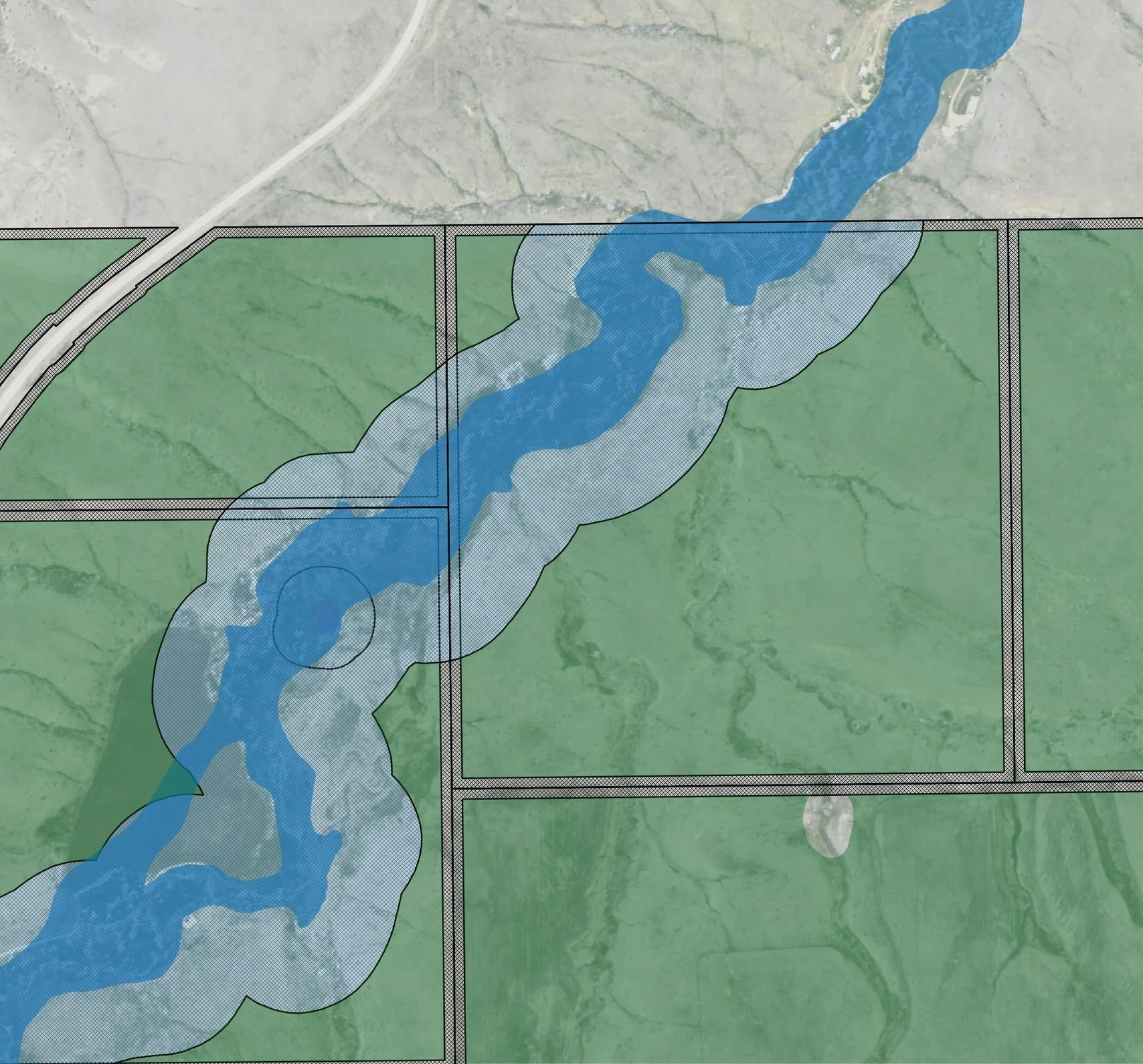
I encountered a great example of this while working on a spatial development project in Mozambique where local forestry officials were concerned about the recent spike in deforestation rates in a local forest reserve. Through some rudimentary spatial analysis (overlaying a few different data layers), we discovered another government ministry had been building schools for the few communities residing inside the reserve. Logically, the policymakers responsible for providing education facilities for their constituents saw communities lacking in access to education and, thus, built a few schools for these communities. Unbeknownst to them, this new education infrastructure acted as an economic attractor, suddenly bringing in new residents who wanted a piece of the education pie. This increase in development in the forest reserve communities soon began exerting pressure on forest resources leading to increased rates of deforestation.

Our recommendation to community leaders at the time was to be more strategic with infrastructure development decisions. Through spatial analysis, we identified areas outside the forest reserve to build additional infrastructure to help stabilize the local population outside the reserve and keep people from migrating into the reserve. In combination with improved investments in agriculture and forestry development, we proposed a regional economic development strategy to protect the forest reserve while providing critical infrastructure for economic development.

Another example of a lack of urban planning knowledge within aide organizations can be seen in many agriculture development programs. Grants are written to address food insecurity but fail to understand the biophysical constraints necessary for a successful program. A recent agriculture development program at USAID identified hundreds of millions of dollars to fund agriculture development programs in multiple provinces across central Mozambique. The problem however, is the funding was specifically earmarked for several provinces where water resources are already scarce (it is a desert). Not only was the program already set to fail, or at the very least be very costly to implement and sustain economically and environmentally, but we were aware of other locations which were highly suitable for agriculture development (good soils and climate) in neighboring provinces and districts. We recommend to whomever would listen that a land use and resource management plan be part of this agriculture development project to identify suitable areas for implementing agriculture programs. At every turn wee were met with a basic lack of land use planning knowledge.

In short, I'm encouraged by the recent article in CitiScope identifying a great need in the developing parts of the world. The road to self sufficiency starts with the ability to consider long-term resource implications and there is no better profession to handle this enormous task. At the same time, the planning profession needs to insert itself within these aide organizations to ensure the money spent will have lasting impact beyond a single donor cycle.